")
")
About us
|
TreesatLab is focused on the analysis of forest ecosystem based on remote sensing data and geospatial data analysis. The main lines of research are:
|
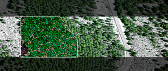
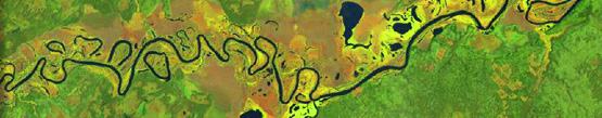
The TreesatLab group works with satellite images, airborne passive and active sensors and high resolution images acquired by small unmanned platforms. Satellite images from LANDSAT, ASTER, MODIS, CHRIS_PROBA, QUICK-BIRD or IKONOS are used to study multitemporal vegetation changes and land use modeling. Airborne hyperspectral sensors such us AHS images and LIDAR data are used to estimate leaf biochemical and canopy biophysical variables through leaf and canopy modelling, and the effects of pigment concentration on leaf apparent reflectance through Radiative Transfer. Thermal imagery is used to develop methods for successful estimation of stomatal conductance and water potential in open and heterogeneous canopies. New research methods are based on small unmanned platforms (UAV) carrying active sensors for forest stress detection at crown level. The group is participant in Spanish-funded projects on hyperspectral remote sensing.
|