")
")
5. Navarro-Cerrillo, R. M., Varo, M. A., Lanjeri, S., Hernández-Clemente, R. (2007). Cartografía de defoliación en los pinares de pino silvestre (Pinus sylvestris L.) y pino salgareño (Pinus nigra Arnold.) en la Sierra de los Filabres. Ecosistemas 16 (3): 163-171. Resumen, Texto completo ![]()
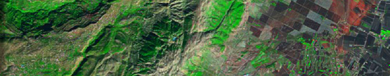
Abstract. Using remote-sensing to map defoliation of Scotch pine (Pinus sylvestris L.) and Austrian pine (Pinus nigra Arnold.) forests in Los Filabres Range. The aim of this project is to investigate the applicability of ASTER data classification to estimate different defoliation degrees of Pinus sylvestris and P. nigra forests. The study area, Los Filabres Range (Almería SE Spain), is covered with pure pine stands, and it is considered one of the most severely damaged parts of Andalusia. Today these stands show a variety of forest decline intensity, ranging from virtually no damage to severe damage, such as total defoliation. The ground truth data were collected during summer 2005. The degree of defoliation was visually estimated according to 3 categories. Image classification was performed by using the maximum likelihood and minimum distance methods. Accuracy (83%, κ=0.76) of the pattern-recognition methods suggests that this technique is adequate for detecting defoliated stands. Thus, remote sensing techniques, by using classifications formers of ASTER images, seem to be suitable for mapping forest damages in extensive areas.![]()
Keywords: ASTER, pattern recognition, defoliation, Pinus sylvestis, P. nigra